
Using Digital Maps To Study Disaster Preparedness and History
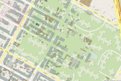
A "warped" map showing Stuyvesant Town with 1852 buildings on top.
( Matt Knutzen/NYPL )
( Matt Knutzen/NYPL )
Produced by Daniel P. Tucker and Wayne Shulmister
Hosted by Manoush Zomorodi

Produced by WNYC Studios